Akita Komagatake is a place where you can step away from daily noise and enter a deep, quiet atmosphere. Access reaches up to the eighth station at 1,300 meters, making it approachable even for beginners to experience alpine scenery. The landscape shaped by volcanic activity, combined with delicate alpine flowers in bloom, creates a setting that naturally eases the mind.
Akita Komagatake Overview and Key Features
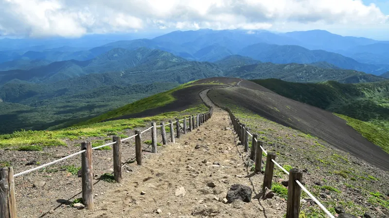
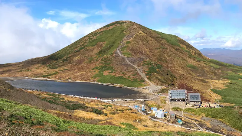
Located in Akita Prefecture, Akita Komagatake is an active volcano with an elevation of 1,637 meters. The terrain features a contrast between rugged volcanic rock fields and green wetlands that sit side by side. This combination of harsh and gentle elements defines the mountain’s character.
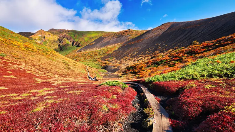
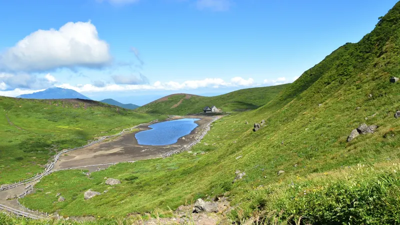
One of the most well-known areas is called “Moomin Valley,” where cool air collects due to the terrain, allowing alpine plants—normally found only at higher elevations—to grow in clusters. The sight of Aleutian avens spreading across the landscape appears only during a limited season.
Appeal as One of Japan’s 100 Famous Flower Mountains
Akita Komagatake is listed among Japan’s 100 Famous Flower Mountains, known for its wide variety of alpine plants. In early summer, species such as Aleutian avens and komakusa bloom, creating a rich display of seasonal colors. The diversity of plant life makes it suitable for those interested in flowers.
The preserved natural environment offers a quiet beauty distinct from artificial landscapes. As the scenery shifts with each step, even the same trail provides a different experience every time.
A Non-Daily Experience Through the Five Senses
The appeal of Akita Komagatake extends beyond its views. With almost no artificial noise, the sounds of wind and footsteps become more noticeable. This quiet setting creates a calm atmosphere suitable for relaxation.
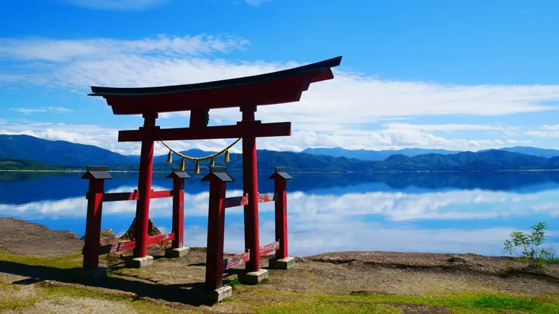
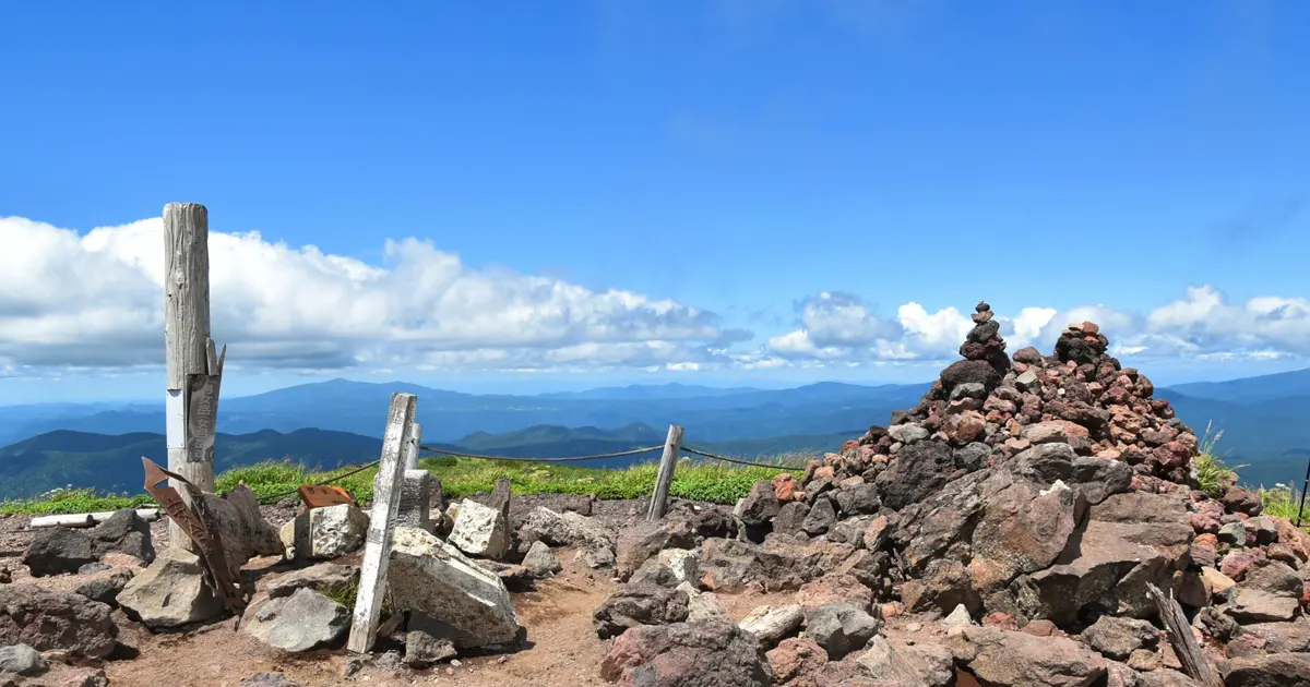
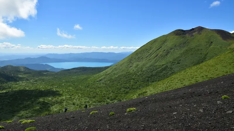
From the summit of Mount Nyotai, Lake Tazawa appears in deep blue, surrounded by a 360-degree panorama. With few visual obstructions, the openness of the sky and land can be felt directly.
Designing your route for Mt. Akita-Komagatake from Semboku reduces unnecessary transfers and keeps your schedule tight. Places to stay in Semboku, Akita align better with trail access and smoother departures.
Suggested One-Day Itinerary
For an efficient visit, start from Alp Komakusa and travel to the eighth station, then walk toward Moomin Valley. This route allows access to alpine plant areas within a short time, making it manageable even with limited time.
Afterward, heading up to Mount Nyotai provides a clear view of Lake Tazawa. On the way back, stopping by Nyuto Onsen Village offers a natural way to rest. Ending the day with a hot spring after hiking adds to the overall experience.
Comparing Mt. Akita-Komagatake stays via Shizukuishi shows how pricing and reviews differ by approach side. Check accommodation in Shizukuishi to pick a balanced option without overspending.
Visitor Information for Akita Komagatake